Discover Right-of-Way Documentation Drones in Port Orange

“With our cornerstone founded on Christian values, we strive to exceed our customers expectations while maintaining the highest industry standards, providing safe working environments, and respecting the dignity of every employee. We believe this allows our team to better serve our industry as a company and as individuals.”
Explore the Future of Right-of-Way Documentation with Drones
Utilizing right-of-way documentation drones provides a safer and more efficient way to capture accurate site data across Port Orange. Our expert team at Cornerstone Inspection & Thermal leverages cutting-edge drone technology combined with detailed inspection and thermal services to enhance the precision of right-of-way documentation. This approach minimizes on-site risks and accelerates project timelines while maintaining regulatory compliance. Serving the Port Orange area, we ensure every survey and inspection supports your operational goals with clear, actionable insights. Contact us today to learn how our right-of-way documentation drones can streamline your next project.
Capture Detailed Aerial Documentation Across Pipeline and Infrastructure Rights of Way
Right-of-way documentation drones provide Port Orange organizations with an efficient way to capture visual records across pipeline corridors, infrastructure routes, construction areas, and surrounding properties. Aerial imagery provides a broader perspective than many ground-level observations and can document accessible areas consistently throughout a project. Cornerstone Inspection & Thermal combines drone technology with inspection capabilities to help clients maintain useful project and asset records. Repeatable aerial documentation can support construction progress reviews, maintenance planning, coordination, and future condition comparisons. Drone surveys can also help identify visible changes along a right-of-way, allowing project teams to determine whether specific areas may require additional field investigation or specialized inspection.
Improve Infrastructure Visibility With Repeatable Aerial Right of Way Surveys
Managing long infrastructure corridors can make consistent visual documentation challenging, particularly where routes include difficult terrain, construction activity, or restricted access. Drone surveys can provide Port Orange project teams with repeatable aerial views of accessible rights of way and surrounding infrastructure. Cornerstone Inspection & Thermal uses advanced drone capabilities to help clients gather clearer visual information for project documentation and asset management. Aerial records may support progress tracking, maintenance planning, communication between field and management teams, and identification of visible changes. By creating consistent documentation from an elevated perspective, right-of-way drone surveys can complement conventional field observations and provide useful information for future inspection and maintenance planning.
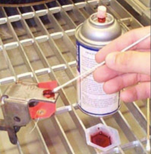
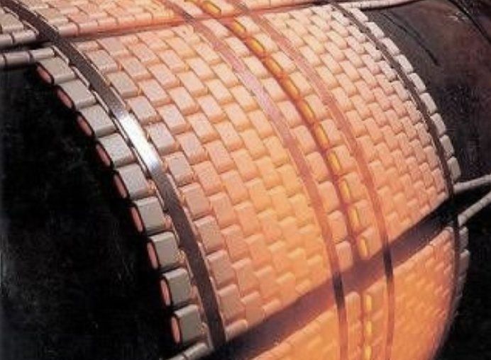
Comprehensive Non-Destructive Testing and Heat Treatment Services
We deliver accurate, code-compliant inspections that ensure the safety and reliability of your critical assets. Our certified team uses advanced technology to detect flaws and verify integrity without disrupting operations.


Where Can I Find Right-Of-Way Documentation Drones in Port Orange?
Frequently Asked Questions
If you don't see the information you need, feel free to reach out to us.